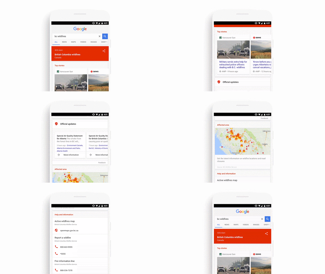
Google is adding a new feature to its search results and Google Maps app to show users areas affected by natural disasters, terrorist attacks, and other unfolding events that could potentially be dangerous. The SOS Alerts feature will trigger a mobile notification to people currently in or nearby the affected locations.
To make the SOS Alert feature truly useful, Google is partnering with law enforcement authorities, emergency response agencies, news outlets, and emergency telephone numbers. This initiative builds on an earlier emergency response effort by US firms like Crisis Maps and Person Finder tools.
However, instead of users having to go into specials tools and sections to get SOS Alerts, Google wants to put that information directly into its popular services. When a user activates this service, Google will bring SOS Alerts directly into your search results and Google Maps app. Some of the information you will get there include, what tragic thing is happening where, and where to seek for refuge or get assistance.
Data fed onto the SOS Alerts will be crowdsourced from Waze making it possible for users to see where there is traffic snarl ups, accidents, and other problems reported by the public. The amount of information displayed will depend on the location of the users. Users in or nearby the incident will get detailed information, while those viewing the Maps or search result from afar get fewer details unless they click on a notification link.
Users near or within the affected place get also get links to the official alerts, sites, first responders tweets, and the content are displayed in the local language; at least as often as possible. Google joins an international program supported by the Red Cross and various government bodies like US, Japan, Philippines, Australia, and Canada to rolls our SOS Alerts.
Facebook too has a similar service, Safety Check, which allows users to let their friends and families know if they are safe when they within a location hit by tragedy.


